
Boulder map highlights hidden gems on USask campus
Updated map outlines three different routes to see a variety of boulders.
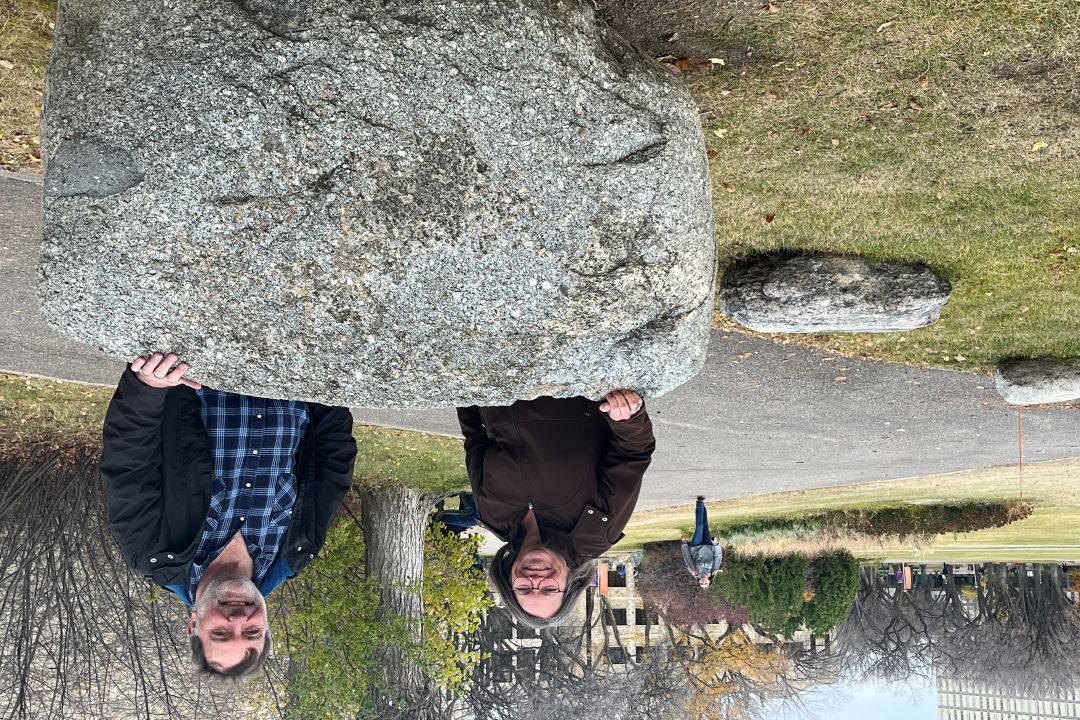
By USask Engineering CommunicationsThere are dozens of boulders scattered around the University of Saskatchewan campus and faculty who teach geology and related courses wanted people to know their stories. The solution? The Geologic Boulder Map!
What is it?
The map traces paths for three separate walks – one for the Igneous Geo-walk highlighting ancient “fire” rocks, some of which may have been formed at great depths in the Earth’s crust; one for the Metamorphic Geo-walk, with rocks that have been affected by heat and pressure; and the Unique Geo-walk, which encompasses all rocks types, especially those with unique textures or structures.
Not sure what xeonolith, plutonic and other geological terms mean? Not to worry – a glossary of all the terms used is included.
The map was first created in 2010 by Professor Kevin Ansdell from the Department of Geological Sciences with assistance from Adam Larsen and Tim Prokopiuk. This year Donna Beneteau from Geological Engineering took the initiative to have it updated. A grant from the Canadian Geological Foundation funded the project.
Who worked on it?
Cecily Smith, a geological engineering graduate, was a great help in identifying new boulders, as some rocks were moved when two new buildings were added along the map’s original paths. Ansdell wrote the new boulder descriptions.
Who uses it?
“I use the map in my rock mechanics class and wanted to have an updated version,” says Beneteau. “But the biggest motivation was that the USask campus has such beautiful pathways. This map encourages me to walk on different loops and learning about the rocks along the way makes for fun strolls!”